Biking the Great Alleghany Passage - Day 0
Getting Ready to Bike the Great Alleghany Passageway
Biking the Great Alleghany Passage - Day 0
This is the story of four guys who decided to bike ride the Great Allegheny Passage. A three day event over 150 miles from Pittsburgh, PA to Cumberland, MD
Bikers travel from across the US and from Europe to experience the Great Allegheny Passage
Below is a map of the route on the Great Alleghenny Passage - a 150 mile bike trail.
For bikers and adventure travelers few trips are more fun and rewarding than traveling the Great Allehany Passageway or GAP. It follows former railroad paths of the old Western Maryland Railroad and several other defunct railroad companies from Pittsburgh through Pennsylvania to Cumberland, Maryland.
This 150-mile trail is one of the longest rail trails in the United States and offers amazing scenary while riding through southwestern Pennsylvania and western Maryland.
There are four of us planning to take the three day trip:
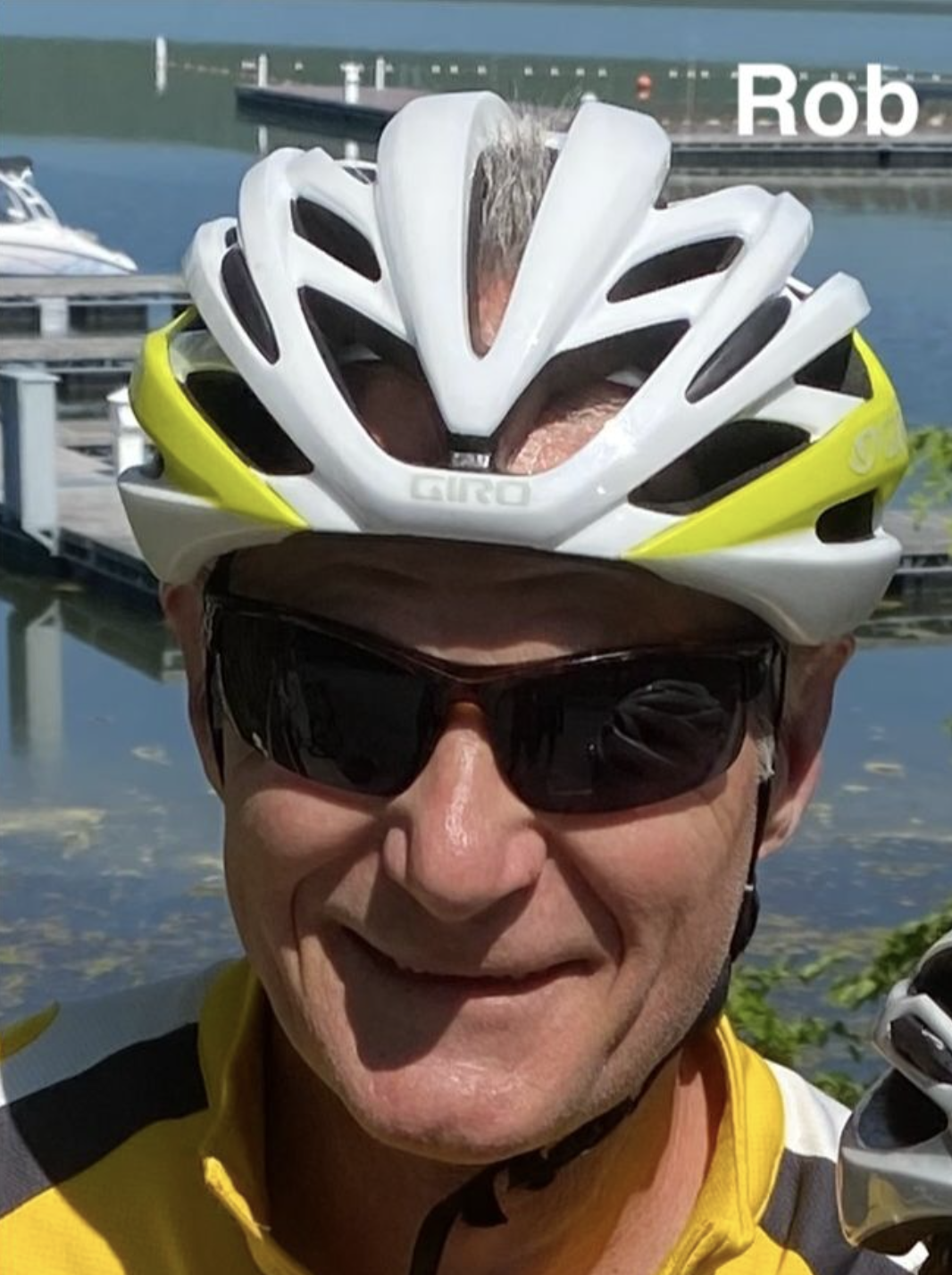
* Rob Halminksy
* C. Hurst
* Carl Roberts
* Mark Brown
?width=100px&height=500px
Rob and Carl put together the idea to bike the 150 mile GAP trail. Mark got invited and we added C. Hurst. C has done the other half of the trail from Cumberland, MD to Washington, DC so we looking forward to his insightful recommendations. We decided to stay in hotels for three nights rather than camp. All gear will be carried on our bikes. We will eat at stops along the way.
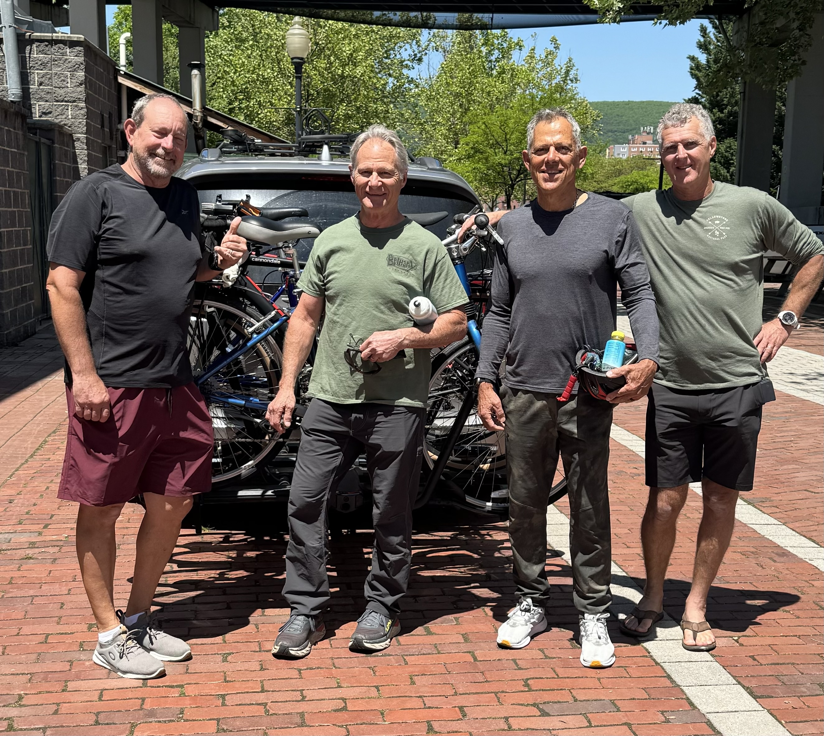
We rendevouzed at Wheelzup Bike Shop in Cumberland, Md to arrive around 12 noon. We were able to leave our cars for the three day trip at a public parking lot near WheelzUp. We loaded our bikes and gear into a shuttle van that Wheelzup Bike provides on a fee basis. From Cumberland, Md the van drove us 2 1/2 hours to Pittsburgh, PA where we were dropped off at the downtown Fairfield Inn.
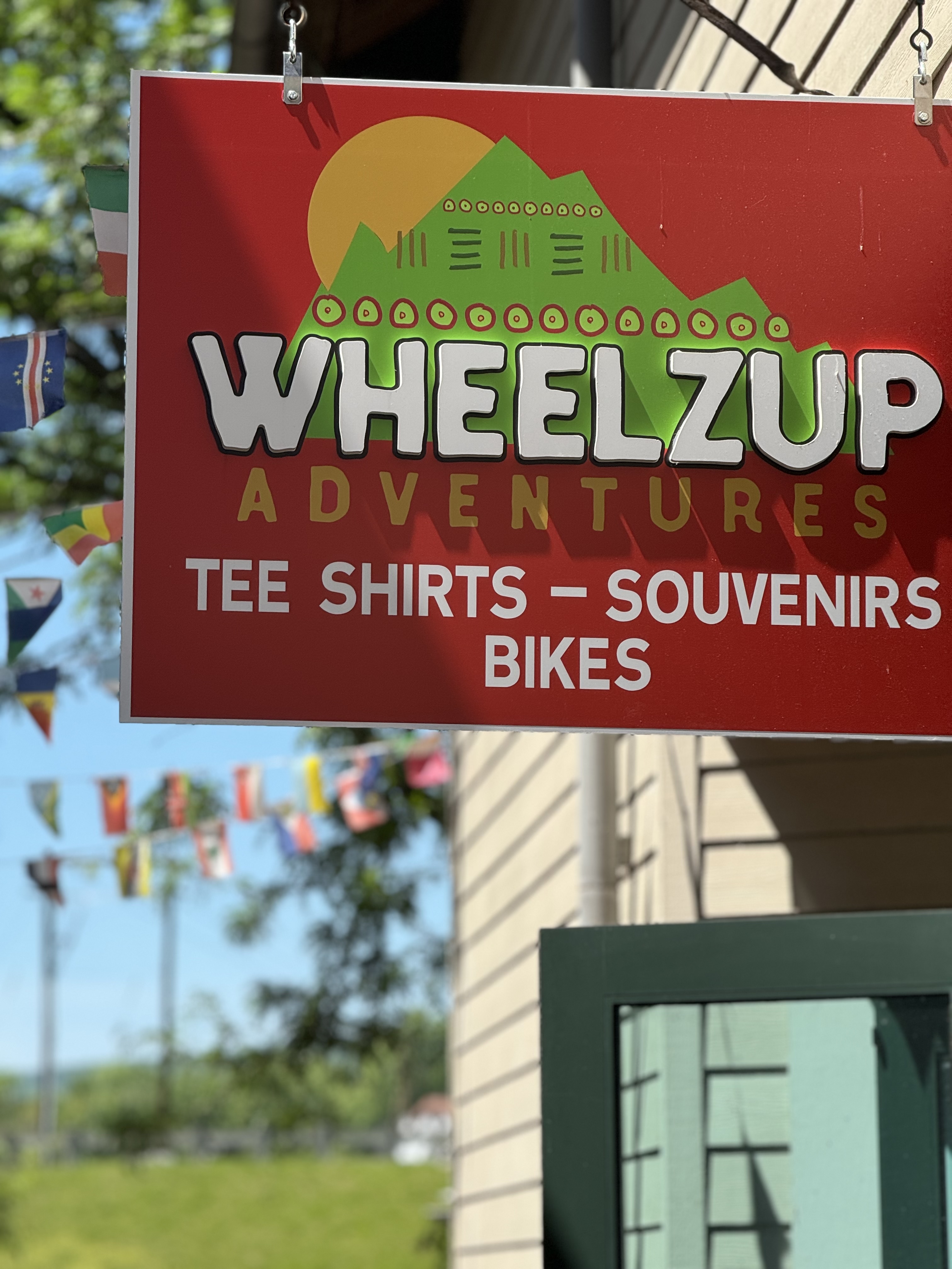
Above is WheelzUp bike shop with whom we arranged our van travel to Pittsburgh. Friendly bike shop that caters to GAP riders. Bike repair, parts, bikes and tons of gear for the ride.
Below is the sandwich shop next door to WheelzUp where we grabbed a snadwich befoe he van ride to Pittsburgh. The owner is a refugee from the Croation War of the 1990s.
Carl: "Looking forward to all the sights that we will see long the trail. A lot of people put in tremendous effort to create the trail."
C.: Just looking to get from point A to point B
Rob: Want to stay positive
Mark: I pray for no rain, no accidents, good camaraderie and exercise.
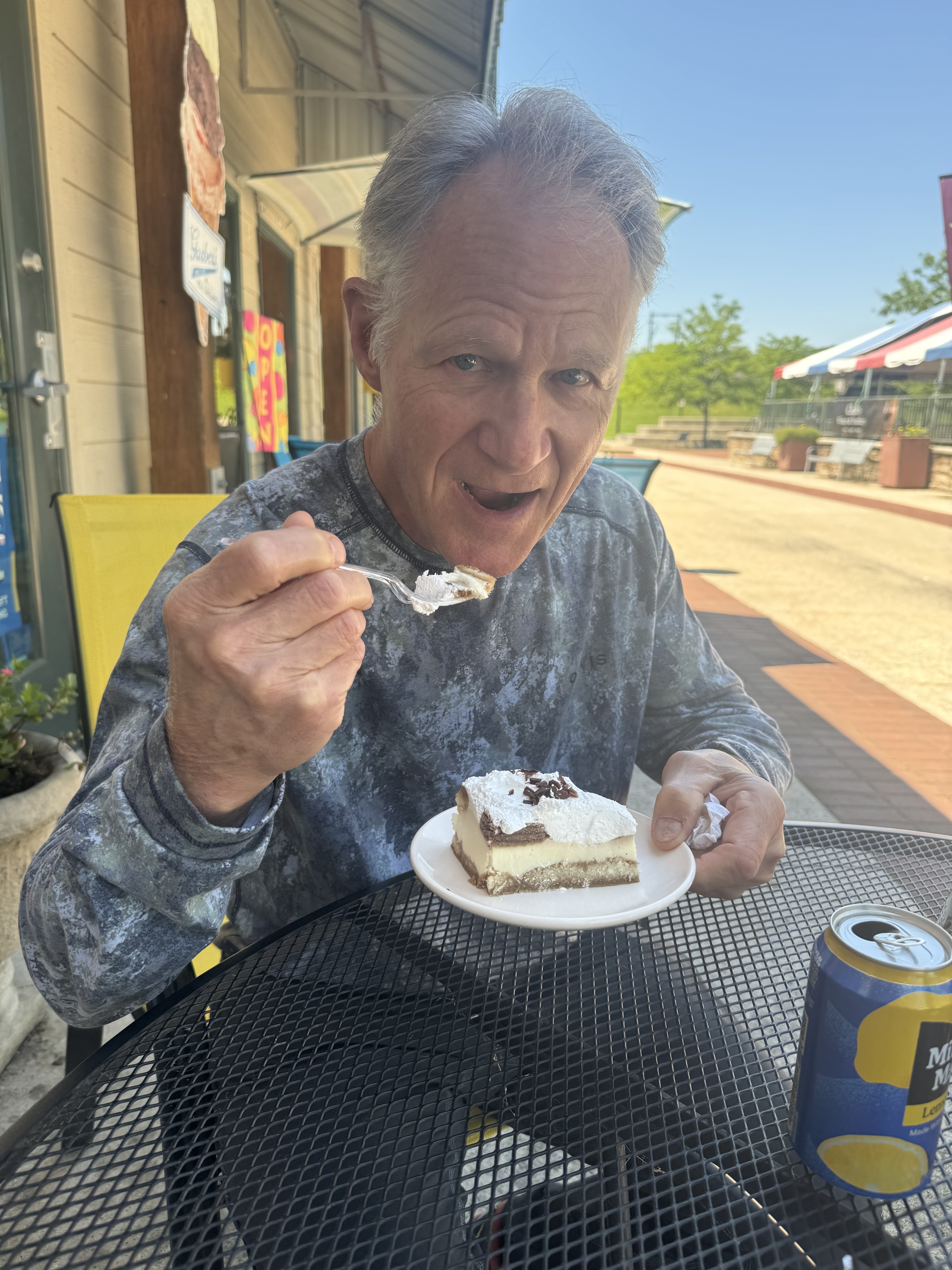
Rob car loading with tira-mi-su from the sandwich shop. Rob's review: "It was pretty good!"
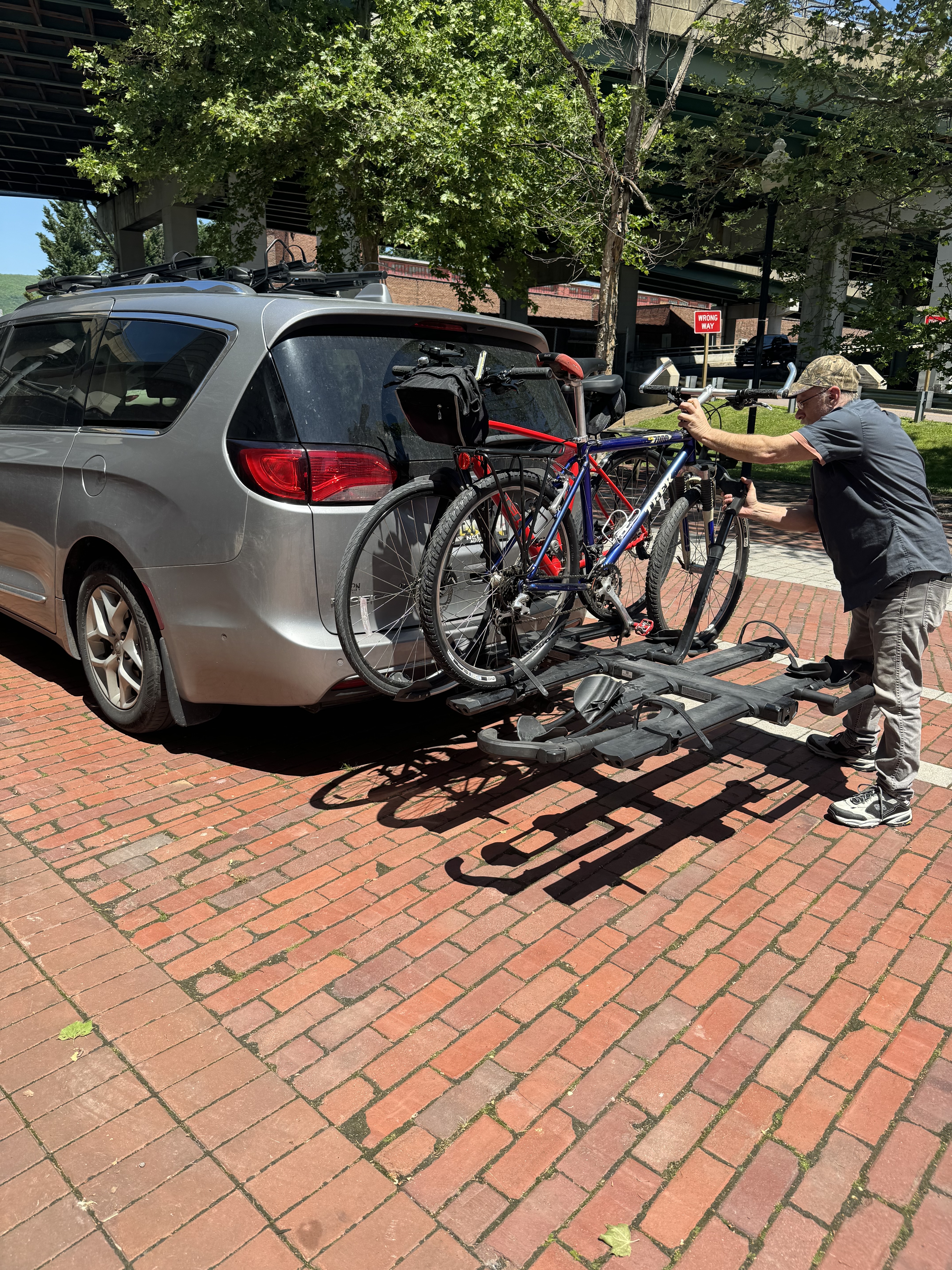
Our driver's name was Will. Here is loading our bikes on the car that will take us to Pittsburgh. He drove us 2 1/2 hours and never stopped talking. Some days he makes the trip twice with bikers.
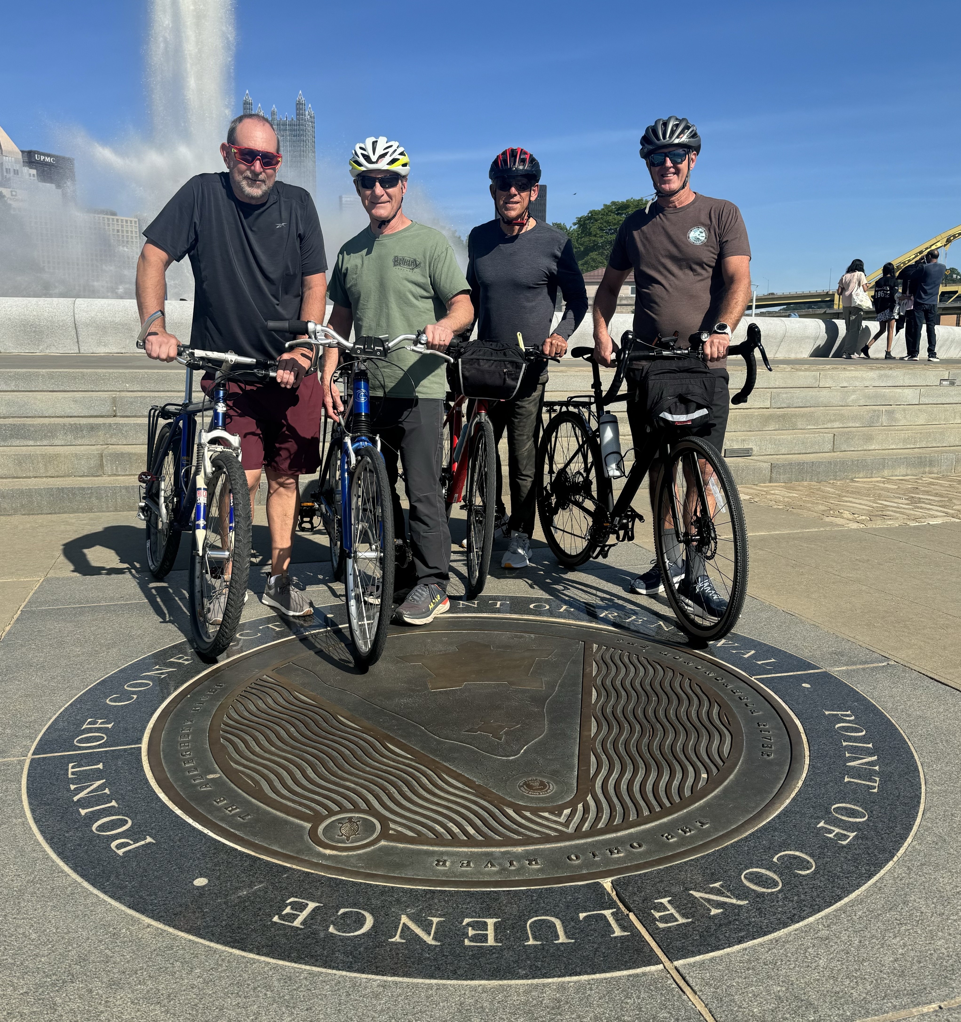
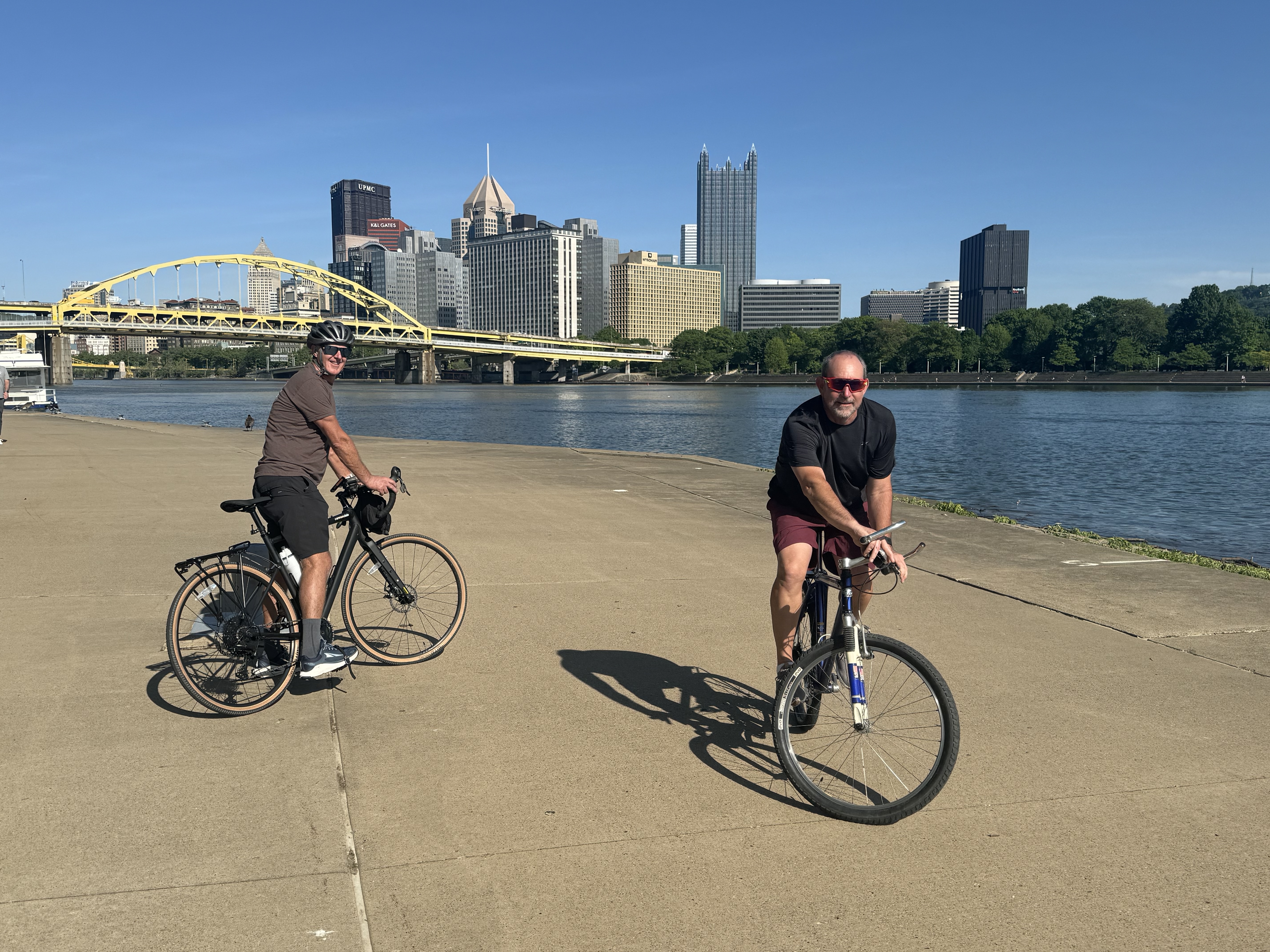
Once we got to Pittsburgh and checked into the hotel, we took a short five mile bike ride through downtown Pittsburgh on the Heritage Trail. Found the marker for the terminus of the GAP trail at the down town park of Fort Pitt where the three rivers meet.
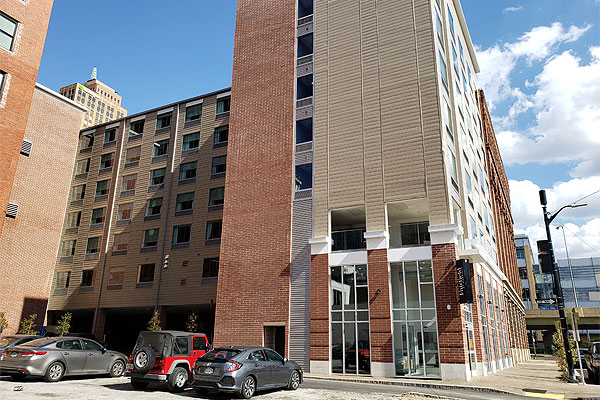
The night before our ride we stayed a the Fairfield Inn in downtown Pitsburgh, close to where the GAP trails starts.
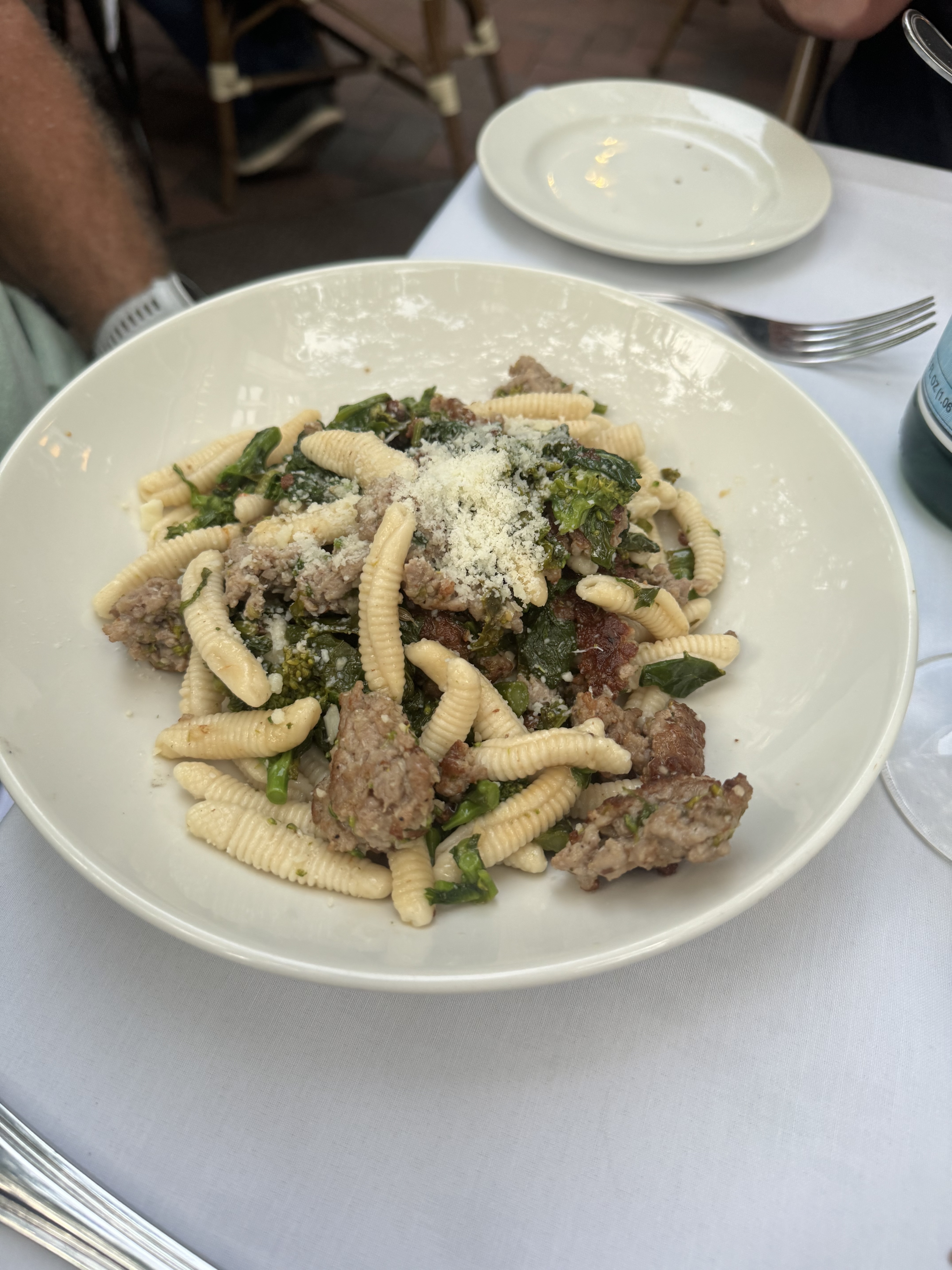
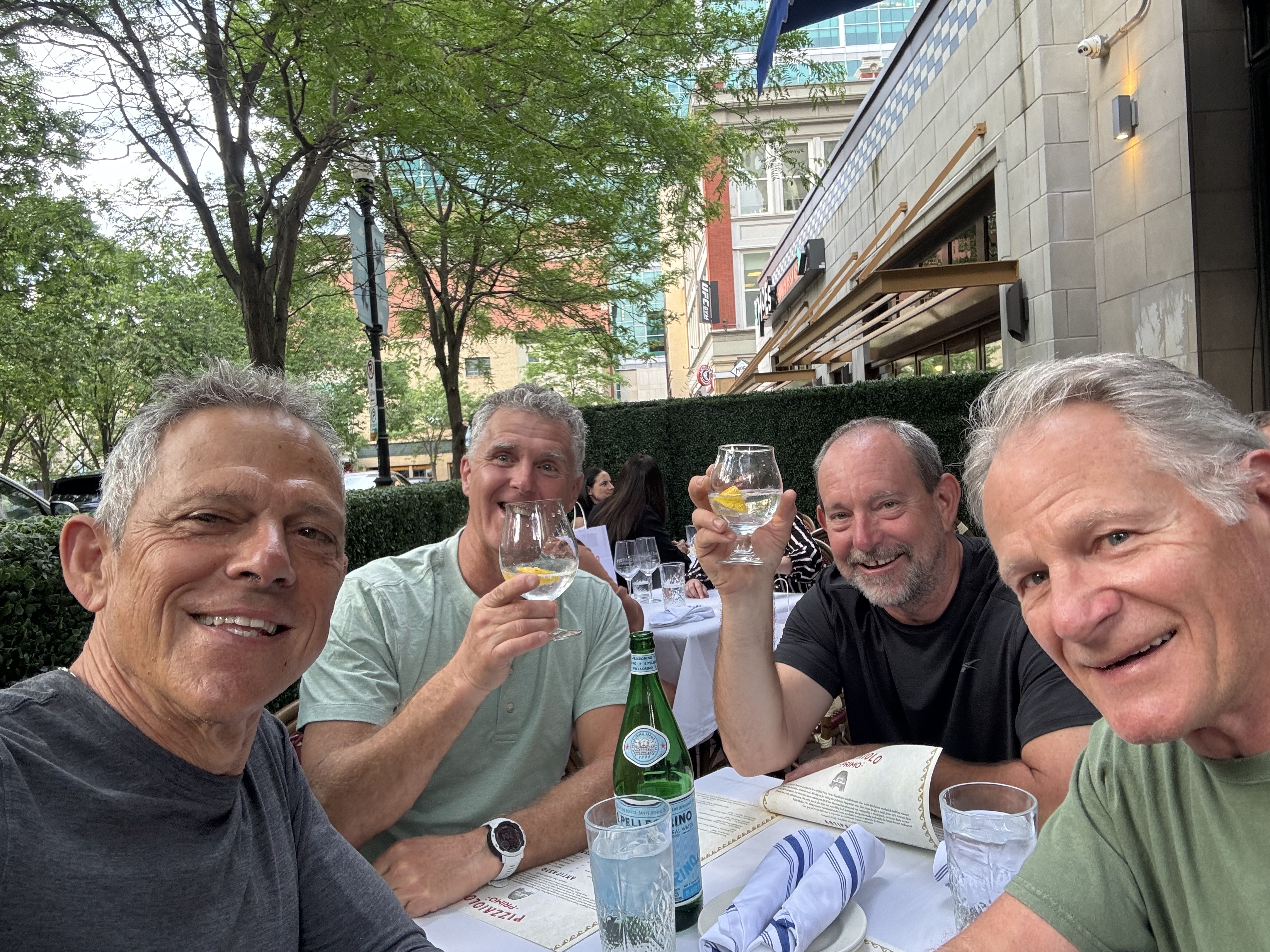
 After checking out a dozen restaurants in downtown Pittsburgh we settled on Pizzallo Primo and it did not disappoint!
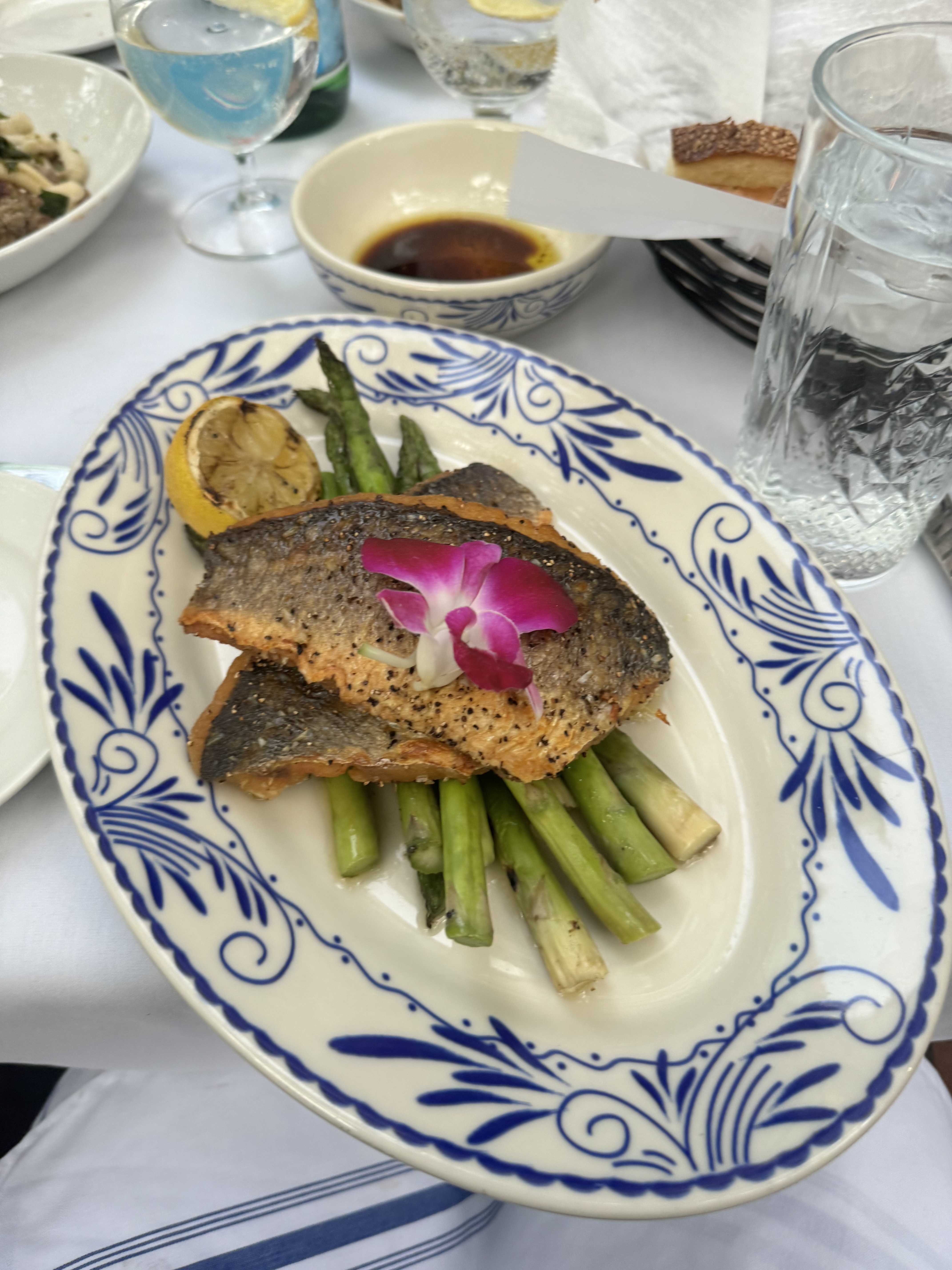
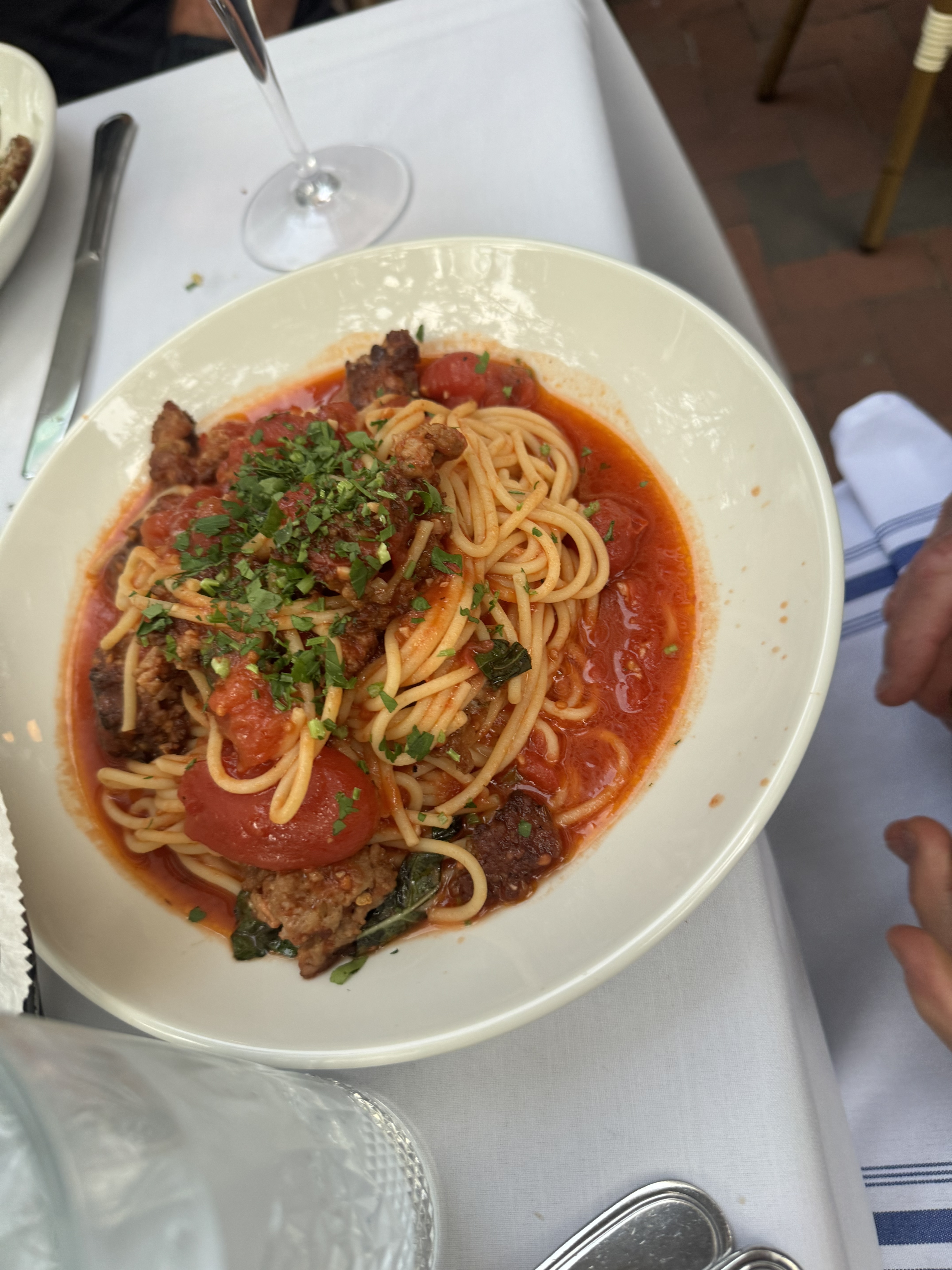
Carl and C tried the Cavatelli Salsiccia. Mark had the Bronzino fish. Rob went out on a limb with spaghetti and red sauce or Spaghetti Pomodoro. And of course there was another dish of Tira-mi-su that was voted better than that at the sandwich shop.
Group chatter before the trip:
Q. Anyone bringing a tire pressure guage?
A. Yeah, I got one. Don't worry.
Comment: Don’t forget to pack lots of energy snack bars.
Comment: I have a first aid kit and tire pump.
Q. You bringing a bike lock? they are kind of heavy.
A. No way. Going light as possible.
Comment tone week before: Oh-oh! Forecast is for rain.
Comment: The Comfort Inn has a heated pool. Don’t forget swim trunks.
Tomorrow we start the ride!
Trail Description
The trail terrain is approximately 15% paved and 85% gravel surface. There are rolling hills in places throughout the trail but the two ends of the trail are at roughly the same elevation. The highest evalation on the trail is the Eastern Continental Divide located 23.5 miles North of Cumberland. The trail climbs in both directions to reach Divide’s elevation of 2392 feet. The elevation gain from Cumberland is about 1800 feet and about 1700 feet from Pittsburgh.


